Wells and Rural
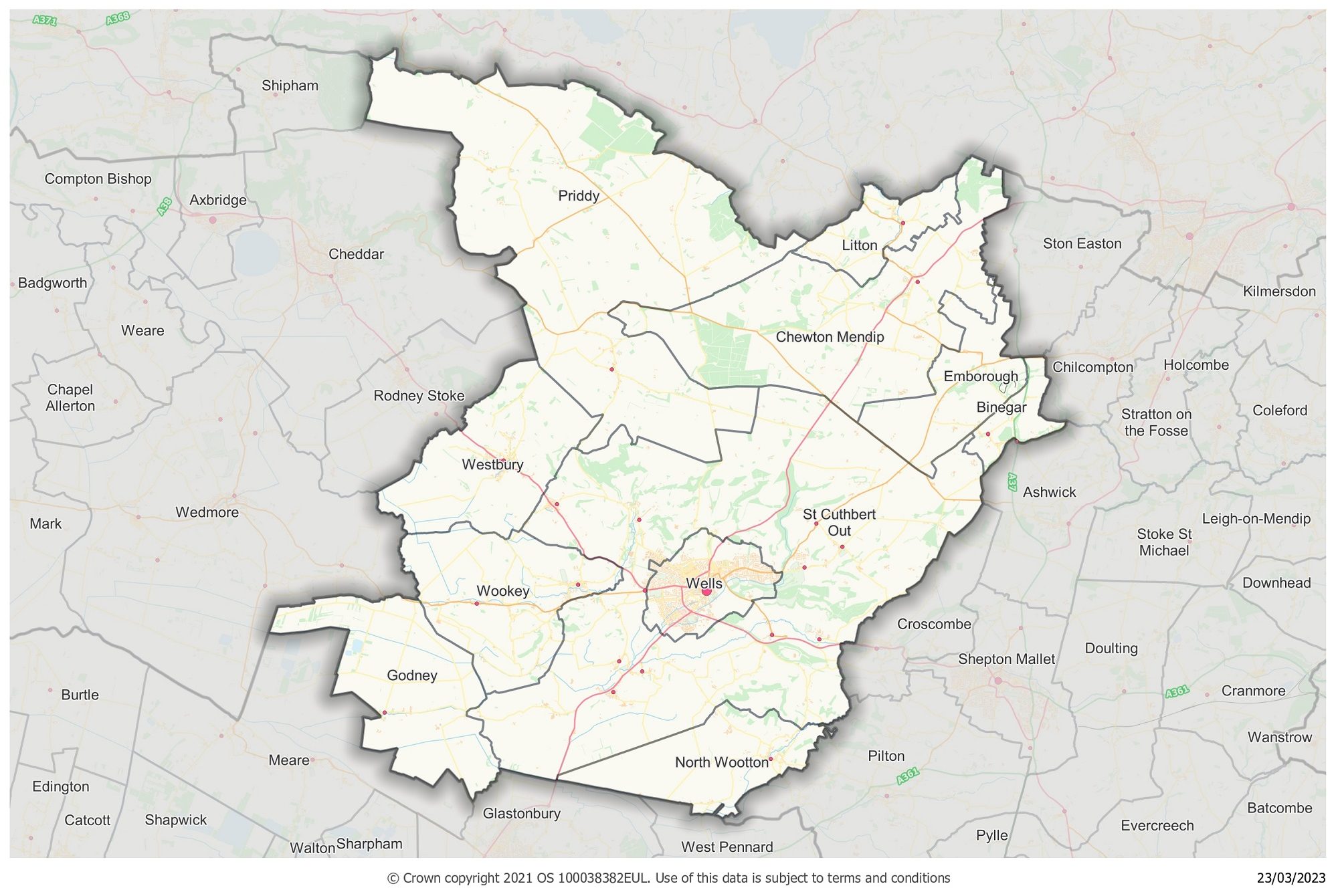
The Wells and Rural area features 11 parishes. Some sit on the slopes of the Mendip Hills – an area of outstanding natural beauty. The parish of Wells has held city status since 1974.
Wells and Rural Local Community Network map

About the Wells and Rural area
The Wells and Rural area features 11 parishes. It includes the parish of Wells which has held city status since 1974. Some of the parishes sit on the slopes of the Mendip Hills National Landscape – a designated Area of Outstanding Natural Beauty. The magnificent Mendip Ridge stretches all the way from Brean Down in the west, towards Frome in the east.
Yearly Report
Next Local Community Network meeting
View agenda and notesFuture meetings
View the full list of upcoming Local Community Network Meetings.
Contact information
Wells and Rural Link Officer: Megan Harnedy
If you would like to contact the Wells and Rural LCN or the link officer, please email wellsandrurallcn@somerset.gov.uk
Network members
Core members
- Avon and Somerset Police
- NHS
- Devon and Somerset Fire and Rescue
- Spark Somerset
- Society Local Council Clerks
- Somerset Association of Local Councils
- Education
- Somerset Activity and Sports Partnership
- Community Council for Somerset
- Citizens Advice
- Department for Work and Pensions
- Somerset Rivers Authority
- Somerset Local Nature Partnership
- West Mendip Integrated Health and Wellbeing Hub
- Mendip Hills National Landscape
Parishes and towns
- Binegar
- Chewton Mendip
- Emborough
- Godney
- Litton
- North Wootton
- Priddy
- St Cuthbert (Out)
- Wells
- Westbury Sub Mendip
- Wookey
Stakeholders
- The Mendip Society
- Connect Somerset
- The Strawberry Line
- Orchard Vale Trust
- Community Speedwatch
- Somerset Wildlife Trust
- Somerset RCC
- Mendip Ramblers
- Wells Bus Users Group
- Wells and District Wildlife Group
- Connect Centre
- Wells Food Bank
- Wookey Hole Residents Forum
- The Volunteer Network
- The Bishops Palace
- Mendip Community Credit Union
- Sustainable Wells
- Shepton Mallet Dementia Action Alliance
- Somerset Foundation Trust
- WellBe Link (adult mental health)
- First Aid for Mental Health Instructor
- Forestry England
- Heads Up
Electoral divisions
- Mendip Hills
- Wells
- Mendip West
